
Princeton Neighbors Block Coverage
No inspected official source returns a complete public “people who live on this block” result. Princeton and Mercer sources do support a more useful and safer block record: parcel geometry, streets, blocks, municipal boundary context, zoning or historic overlays, recorded instruments, and public civic documents. Every item has a different meaning. A tax-map sheet is assessment context; a deed index records a party's legal role; an older directory is a dated listing; and a voter record is regulated election information. None should be blended into a current household label.
| Block source | What it can show | Access | Boundary |
|---|---|---|---|
| Princeton tax-map key and detail sheets | Street, block number, parcel geometry, boundary, right-of-way context | Public PDFs, including 2024 index and detail sheets | Assessment map, not title or occupancy |
| Mercer parcel map service | Parcels, blocks, buildings, roads, streams, municipalities, and sales layers | Public ArcGIS REST service and query outputs | Names can be absent or redacted; 1,000-record maximum |
| NJ GIS Property Explorer | County, municipality, address, block, lot, and parcel or PAMS context | Public statewide map search | Owner names are redacted under Daniel's Law |
| Princeton zoning and historic maps | Land-use, historic-district, park, infrastructure, and municipal context | Princeton GIS map apps | Exact popup fields were not confirmed |
| Mercer deed index | Recorded instrument, party role, legal description, date, book or page | Official public index; Records Room fallback | Not an occupancy or current-title guarantee |
| County voter request route | Regulated election-district information when lawfully available | Particularized Mercer request under OPRA | No public block browse or ZIP filter located |
A situs address is the physical parcel location. A mailing address is where correspondence goes. A legal description identifies a parcel in a recorded instrument, while a directory address is a publication-era listing. These fields can match, but they often do not. Label the record type instead of assuming a shared address represents one person or one household.
Princeton Neighbor Parcel Process
Mercer's ArcGIS REST service provides the technical route for an adjacent-parcel view. Identify the target parcel with a state PAMS or PIN identifier, a map location, or a tax-map block and lot. Then use the Parcels layer to identify geometries that touch or intersect the boundary. Blocks, Buildings, Roads, Streams, and Municipalities add context. The service advertises JSON, GeoJSON, and PBF output, and it caps a request at 1,000 records. The public Princeton GIS hub is easier for general map orientation, but the inspected text did not expose a dedicated neighbor control or a verified popup schema.
- Confirm that the street address is inside the Municipality of Princeton using the municipal address checker and the relevant tax-map key.
- Read the tax-map detail sheet for the block, lot, adjacent streets, boundary line, and map revision context.
- Use the Mercer parcel layer to identify touching geometries. Record the parcel identifier, displayed block and lot, layer name, source date, and map URL.
- Add a zoning or historic overlay only as place context. Preserve the map's stated layer and date.
- If a recorded instrument is needed, search the Mercer Clerk index by lot and block, party, date, instrument, or book and page, then record the legal role and date shown.
The resulting statement should stay geometric: parcel A touches parcels B, C, and D according to a dated public layer. A nearby parcel may lie in another municipality, have a redacted owner field, or use an off-site mailing address. Do not automatically attach a person name from an unrelated source to a map result.
- Parcel geometry
- The mapped outline of a land unit. It helps orient adjacent lots but is not a deed or a household record.
- Block and lot
- The tax-map identifiers used to locate a parcel. They are useful for a map or instrument search, while the legal description in a deed remains its own record.
- Situs address
- The physical location assigned to a parcel or event. It is distinct from the mailing address on a tax record.
Princeton Neighbor Source Categories
Official records and commercial lookup categories have fundamentally different roles. A public map or custodian index identifies its keeper, date, fields, and access limits. A commercial category may combine stale, inferred, or unrelated material without showing the underlying record trail. For a Princeton block question, choose the source category that directly answers the place question, then keep its limitation in the result. No named commercial service is needed to make that comparison.
| Official map or tax record | Can identify map sheet, block, lot, parcel geometry, municipal context, or an assessment field for a stated period. It does not prove title, current address, or household membership. |
|---|---|
| Official Clerk instrument index | Can identify a recorded instrument and named legal roles with dates. A grantor, grantee, trustee, estate, or lender is not automatically a current resident. |
| Historical library source | Can preserve a printed address, notice, image, or local-history connection in a dated source. It does not establish present occupancy. |
| Commercial lookup category | May present a name or address without the custodian, date, field meaning, or redaction history. It should not replace the documented official route or be used to build a block roster. |
Daniel's Law is a practical reason to use that restraint. Mercer closed public PIP access because its map could not provide redaction, and the state GIS Property Explorer redacts owner names. The protected field should remain protected. A mailing address, map edge, old listing, or nearby record is not a way to reconstruct it.
Princeton Neighborhood History and Civic Records
Historic and civic sources can describe a block without naming private residents. Princeton's Historic Princeton materials identify Lenni Lenape paths, early roads, Nassau Street, Stockton, Princeton-Kingston, Princeton-Lawrenceville, and Mount Lucas routes. The Historical Society of Princeton's Historic Sites collection adds place histories for streets, districts, buildings, and documented community stories. A historical association belongs to the period stated by the source, never to a present-resident claim.
The Historical Society's Historic Sites collection offers source-based local place context.
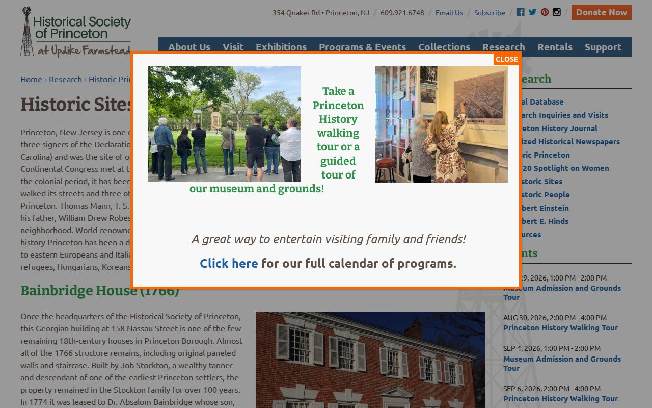
Use an historic-site entry to frame a street, building, district, or documented period. Its people and dates remain historical, rather than evidence about any current neighbor.
The Witherspoon-Jackson Neighborhood Association is documented in a Princeton Public Library spotlight as a historic African-American community organization with monthly meetings at one of four local churches and civic discussions. No public member roster was located. That is a meaningful negative finding: the organization's story and public civic setting are available, but private membership should not be inferred from a boundary, a church, or a map.
Princeton's municipal directory identifies public departments and staff contacts rather than a resident list.
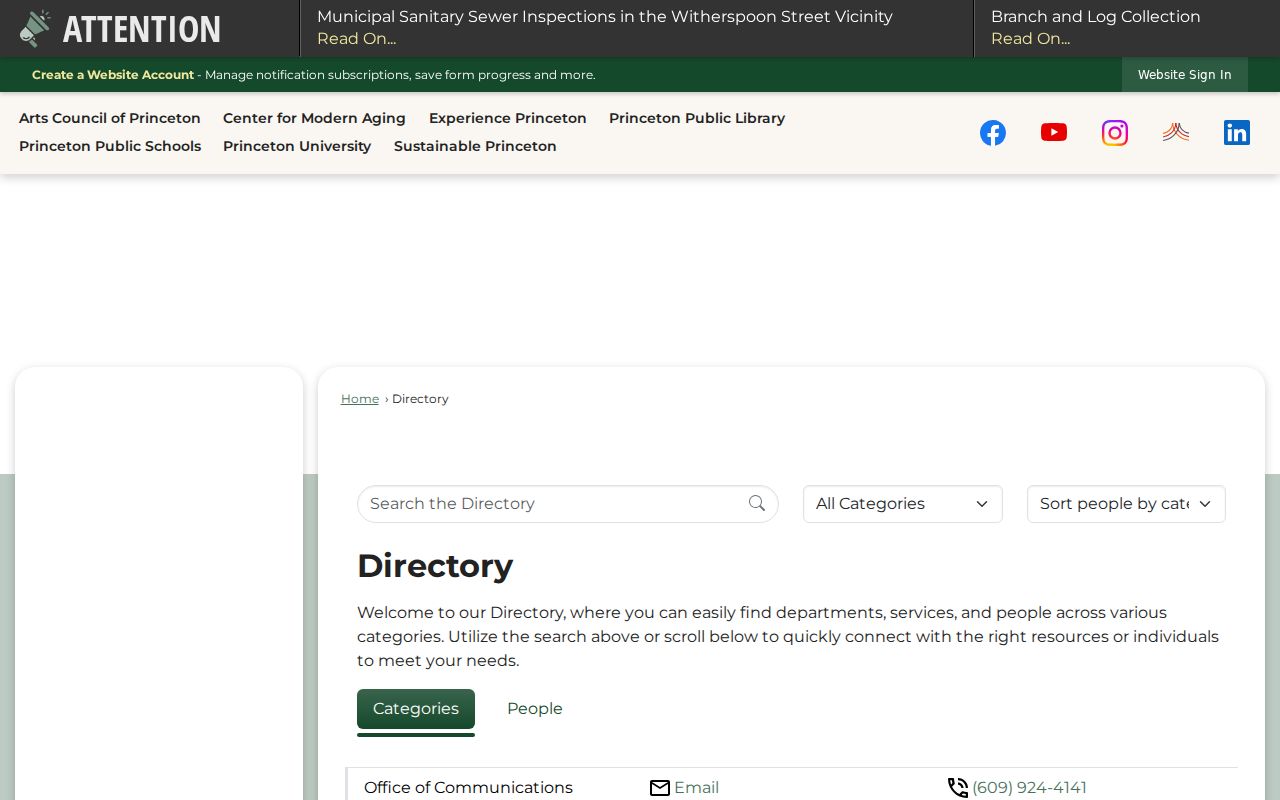
For an address question involving permits, engineering, planning, zoning, or historic preservation, contact the department that maintains the defined public record. The directory's public office contacts do not identify nearby private households.
Princeton Block Requests and Meetings
Public meetings can connect an address or project to a dated civic record. Princeton's Agenda Center includes categories for health, planning, historic preservation, human services, stormwater, zoning, recreation, public art, youth, and other municipal bodies. Meeting documents can name a public body, agenda item, appointment, project, or public comment. Record the body, document date, agenda title, and address or project as written. Do not convert public attendance or a comment into a private residential address.
Princeton's Agenda Center is the official access point for those dated municipal documents.
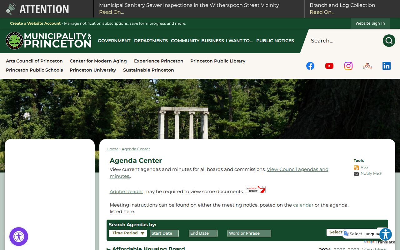
An agenda result supplies civic context and an access date. It does not give a complete roster of local residents or validate a connection beyond the document's own language.
For election-district data, Mercer offers an OPRA request route, not a public street, block, or ZIP display. The request must give the requester's name and address, a particular description of the list sought, a noncommercial-use statement, signature, and payment. The current county page does not state a fee amount or a full-file delivery format. New Jersey's Voter Search is an exact-name lookup, not a block query. Ask the county custodian to identify what may lawfully be released and which redactions apply.
New Jersey OPRA is N.J.S.A. 47:1A-1 et seq. A particular request for public planning-board minutes, resolutions, exhibits, or a defined address and date range is more workable than a request for all information about nearby people. The custodian can explain availability, exemptions, copy costs, and any appeal route.
Princeton Neighbors Research Boundaries
A careful block record ends with the smallest supported conclusion. It may say that a parcel touches another mapped parcel, that a historic collection documents a site in a stated period, that a deed index identifies a recorded instrument, or that a public meeting includes an agenda item. It should not publish a list of private neighbors, infer a household from a tax field, or combine a directory, voter record, business role, and cemetery record into a current profile.
When an address is unclear, compare the printed source address, municipal boundary result, tax-map block and lot, deed legal description, and date. Princeton's 08540 postal area extends beyond the municipal boundary, while 08542 is central-town postal geography and 08544 is a university mail convention. Postal routing is useful for delivery, but it is not a municipal boundary or a resident finding.
Keep a short provenance note with each fact: record type, source, date, access date, and the narrow conclusion it supports. Stop when the map, instrument, civic record, or historical source answers the place question. That approach protects legitimate neighborhood history and civic research while respecting the privacy limits in New Jersey records.