
Trace a Princeton Street Directory
For a Princeton address, the public path starts with map evidence. The municipal GIS hub has an address checker and separate map apps, while the tax-map archive supplies an index, key maps, and numbered sheets. Use those sources to write down the street spelling, municipality, tax-map sheet, block, and lot. The map establishes which parcel is being researched. It does not establish who lives there.
- Check the address in Princeton GIS Maps and Apps and compare it with the applicable tax-map index and detail sheet.
- Record the block and lot, then search the Mercer County Official Records Search by town, lot and block, party, date, instrument, or book and page.
- Read an instrument as a recorded transaction. Keep the grantor, grantee, recording date, legal description, instrument number, and linked-record references separate from any claim about occupancy.
- When an older address is involved, compare publication-year directories and map sheets around the transfer date. A historical listing is a dated clue, not a current finding.
- Use the County Clerk Records Room when an image is unavailable, an older deed needs a fuller search, or an official record must be inspected.
The physical county holdings reach back to 1838, but the official search does not publish one universal online cutoff. The Clerk’s deed guidance treats pre-1997 research and a full history as cases that may need another step. That makes the street directory workflow more reliable than assuming every older image is available on the web.
Note: Preserve the Borough or Township wording on an older source because Princeton’s consolidated municipality can obscure the label printed on an earlier record.
Princeton Street Directory Tax Maps
The Princeton tax-map collection is the most direct way to move from a street name to a mapped parcel. Its official index explains that the sheets are assessment material prepared from surveys, aerial photographs, recorded plans, deeds, and wills. Key maps help with street names and block numbers. A sheet can show parcel geometry, boundaries, right of way, and street context, but it is not a deed and should not be treated as title proof.
The Princeton Tax Assessor handles property records, exemptions, deductions, tax maps, sales, and appeals. No confirmed open owner-name search screen was located on the municipal site. For a specific assessment or parcel-card question, use the office route at 400 Witherspoon Street, call 609-924-1084, or make a narrowly described request under the Princeton OPRA process. Asking for a block, lot, map sheet, or instrument is more precise than asking for all records tied to a person.
The Princeton Tax Assessor service page shows the municipal route for address and parcel questions.
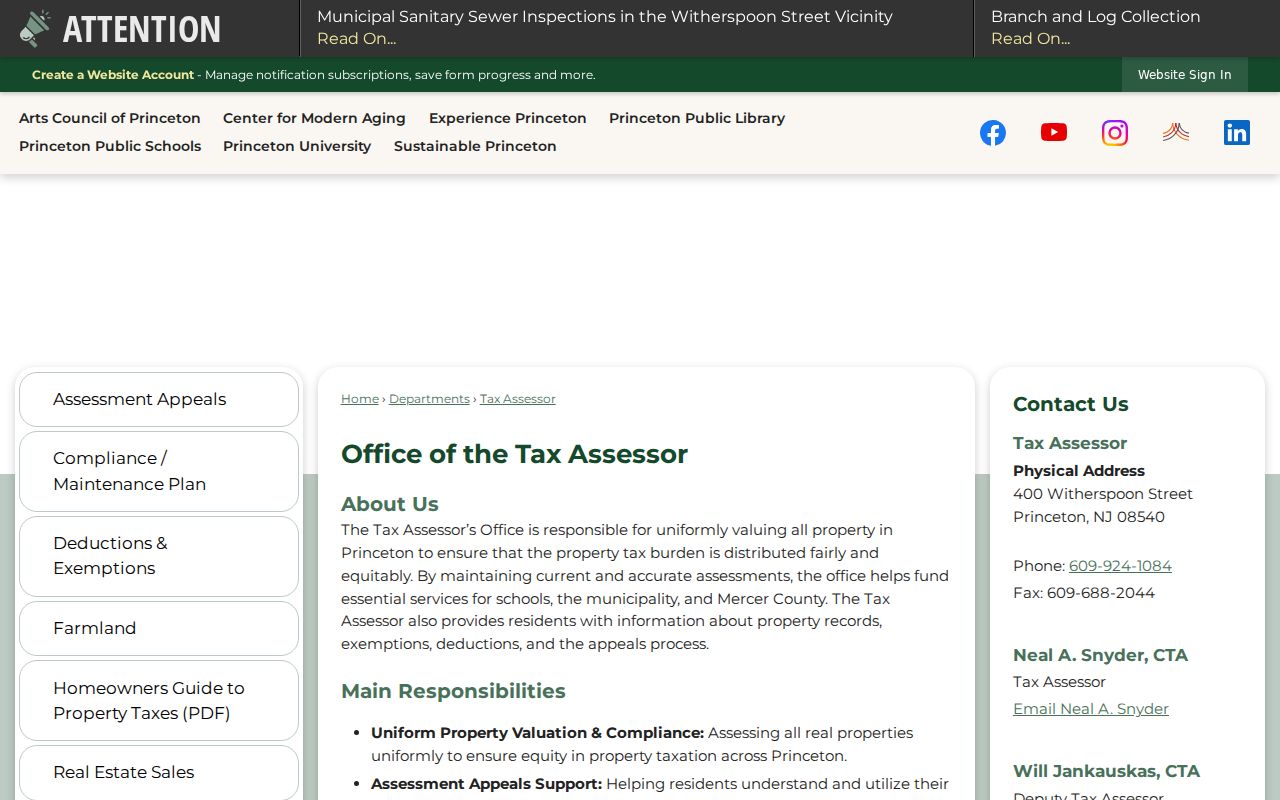
That office route fills the gap left by the absence of a verified public owner-name screen and keeps an assessment question tied to the correct parcel.
The official Princeton tax-map index points researchers from a street to the appropriate numbered sheet.
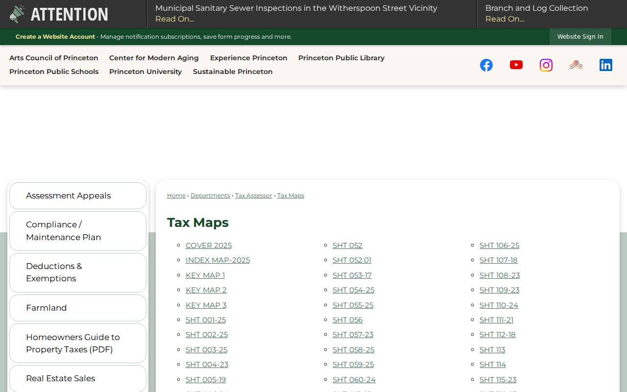
Use the index with a detail sheet so a familiar street name is connected to the correct block and parcel geometry.
Princeton Street Directory Map Fields
Three public map routes have different roles. Princeton GIS provides local address and overlay context. The state’s NJ GIS Property Explorer accepts address, county, municipality, block, and lot, then returns parcel context and geometry. It redacts owner names under Daniel’s Law. Mercer’s ArcGIS service is useful for map-layer work, not as a title record.
| Route | Inputs or controls | What it can show | Important limit |
|---|---|---|---|
| Princeton Tax Assessor | Direct address or parcel inquiry | Office-held assessment and property-record services | No confirmed public owner-name form |
| Princeton tax-map PDFs | Index, key map, detail-sheet number | Street, block, parcel geometry, boundaries | Assessment context, not title |
| NJ GIS Property Explorer | Address, county, municipality, block, lot | Parcel/PIN context and map geometry | Owner names are redacted |
| Mercer ArcGIS service | Layer selection and a query output | Parcels, blocks, buildings, roads, streams, sales, municipalities, preserved land | Maximum record count is 1,000 |
Mercer’s MercerPortalMap MapServer lists lakes, roads, streams, blocks, buildings, parcel sales, parcels, preserved farmland, preserved open space, and municipalities. Its output formats include JSON, GeoJSON, and PBF. The service can help distinguish a parcel boundary from nearby geography, but its presence does not create a whole-street roster.
The Mercer parcel map service exposes the available layers before any address record is interpreted.
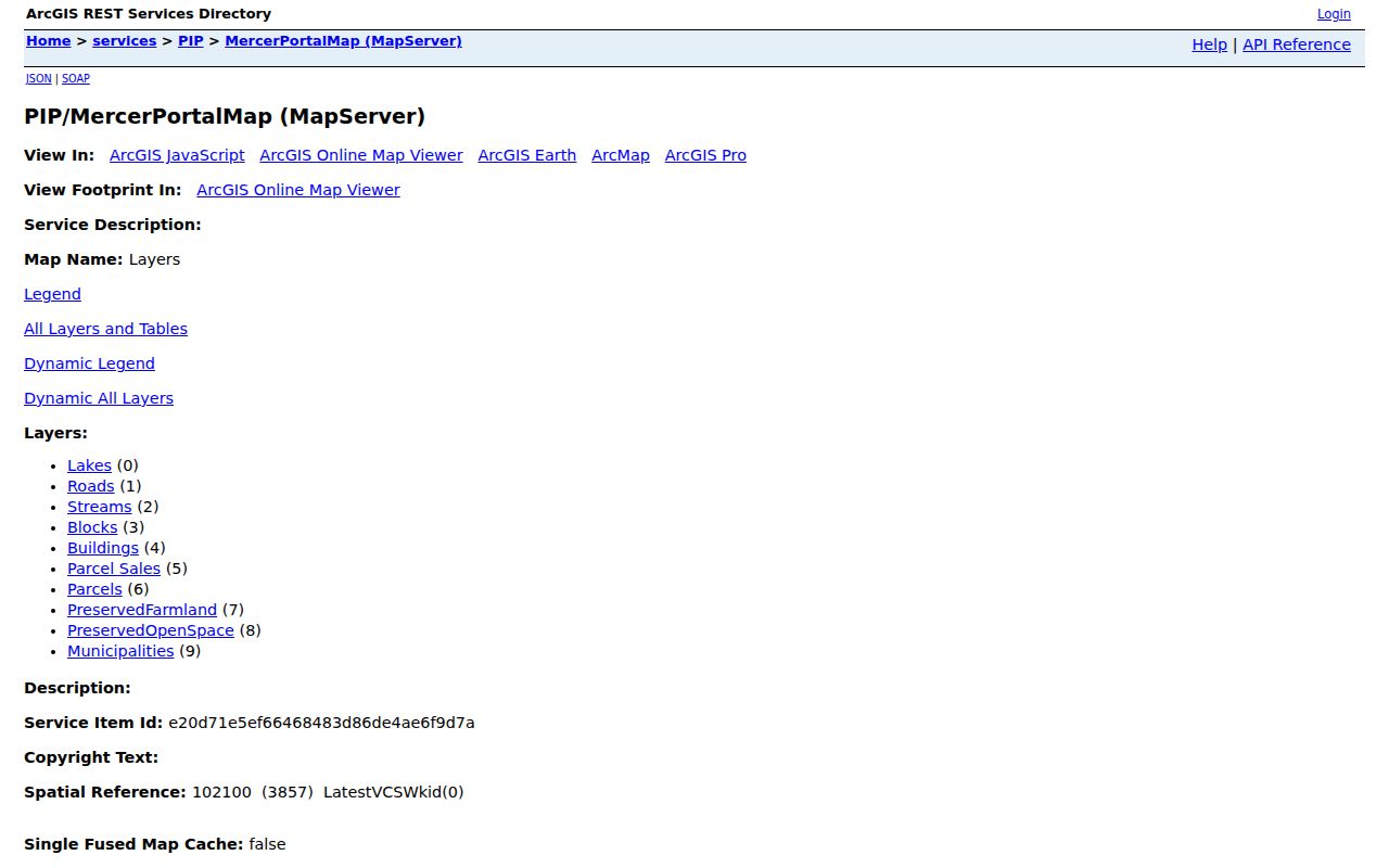
Reading the layer list first makes clear that parcels, buildings, roads, and sales are separate map objects with different limits.
Princeton Street Directory Deed Trail
Once the block and lot are known, the Mercer index adds the recorded-document layer. The official search supports party name, document type or code, date range, instrument number, book and page, town, lot, block, consideration, board or commission name, and legal-description searching. A result may show document type, recording date and time, book/page, page count, consideration, legal description, direct and indirect party labels, and linked documents. Images can be restricted or absent.
A grantor is the party transferring an interest. A grantee is the receiving party. Neither label automatically means the person occupied the address. Similarly, a mailing address on an assessment record is a correspondence field, while a situs address identifies the physical parcel. Keeping those terms separate is essential when reading a Princeton street directory trail.
- Parcel
- A mapped piece of land identified for assessment and land-record purposes, often by block and lot.
- Situs address
- The physical street location of a parcel or event. It can differ from a mailing address.
- Legal description
- The lot, block, subdivision, metes-and-bounds, or other deed language that identifies property more precisely than a street label.
- Criss-cross directory
- A historical directory organized by address or telephone, useful for a dated listing rather than a current household claim.
The Clerk’s Land Records office is at 209 South Broad Street in Trenton. Its Records Room is open Monday through Friday, 8:30 to 4:30, at 609-989-6466. Staff do not perform title searches. Bring the most specific block/lot, book/page, or instrument information available when a web result needs a Records Room follow-up.
Princeton Street Directory Record Types
An address may appear across several record sets, but each answers a different question. Maps identify the parcel. An assessment record supplies assessment context. The deed index identifies a recorded instrument. A historic directory may record a listed address for its publication year. Municipal planning, engineering, zoning, or OpenGov material can document a specific project if a request identifies it narrowly. None should be combined into an unsupported statement about a present household.
| Address record | Keeper | What it contributes | Access route |
|---|---|---|---|
| Tax map | Princeton Tax Assessor | Street, block, sheet, parcel geometry, boundary context | Public PDF |
| GIS parcel layer | Princeton, Mercer, and NJ GIS | Map position, parcel identifiers, overlays, adjacent geometry | Public map or service |
| Recorded instrument | Mercer County Clerk | Grantor/grantee, date, legal description, book/page, consideration | Public index, Records Room where needed |
| Historic directory or phone book | Princeton Public Library | Publication-year listed address or subscriber information | Print, microfilm, or library database |
| Voter record | State and Mercer elections offices | Name-based registration information where lawfully available | State name search or particularized county request |
New Jersey Voter Search is name based, not a public street-browse tool. Mercer voter-list access is subject to a particularized OPRA request and a noncommercial-use statement. The proper result is a lawful records route, not a street-by-street publication. For a historical address listing, use the Princeton Room’s criss-cross and directory holdings rather than treating election data as a complete address directory.
Planning, engineering, zoning, and OpenGov records need the same precision. Princeton’s municipal application route can be useful for a named project, permit type, or specific address, but the inspected source did not expose a confirmed public field schema or result paging. State the exact address, date range, project, block/lot, or instrument in an OPRA request. That gives the custodian a record target and avoids treating an address search as a request for a person’s entire file.
Princeton Property Alert Registration
Mercer County’s Property Alert is a prospective notice tool, not a search of past transfers. After registration and email confirmation, an alert can be set by municipality, block, and lot or by party-name variants. The county specifically advises registering variants such as a surname with a first name, middle initial, and full middle name. The alert helps a property owner notice a later recording; it does not replace a historic instrument search.
The Mercer Property Alert registration screen illustrates the municipality and block/lot path used for future notices.
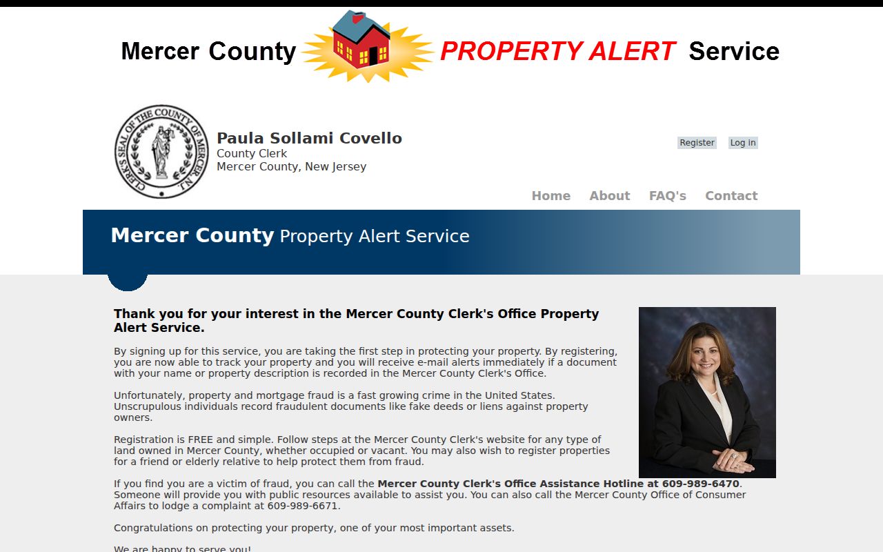
Registering the parcel identifiers already confirmed from the tax map reduces the chance of selecting a similarly named street or party.
For a suspected recording problem, the county lists Recording at 609-989-6466 and a suspected-fraud hotline at 609-989-6470. Verify any current contact or reporting step with the county before acting. The alert stays focused on future recording activity, which is why it belongs after the address and parcel have been confirmed.
Princeton Street Directory Privacy Limits
Mercer’s Property Information Portal is closed to ordinary public access because its map and search interface lacks the redaction capacity required by Daniel’s Law. The state parcel explorer also redacts owner names. A protected address, restricted image, unavailable image, or missing result may reflect a legal limit, a non-digitized record, or an incomplete search, not proof that no record exists.
The Mercer Property Information Portal policy documents the Daniel’s Law boundary behind that closure.
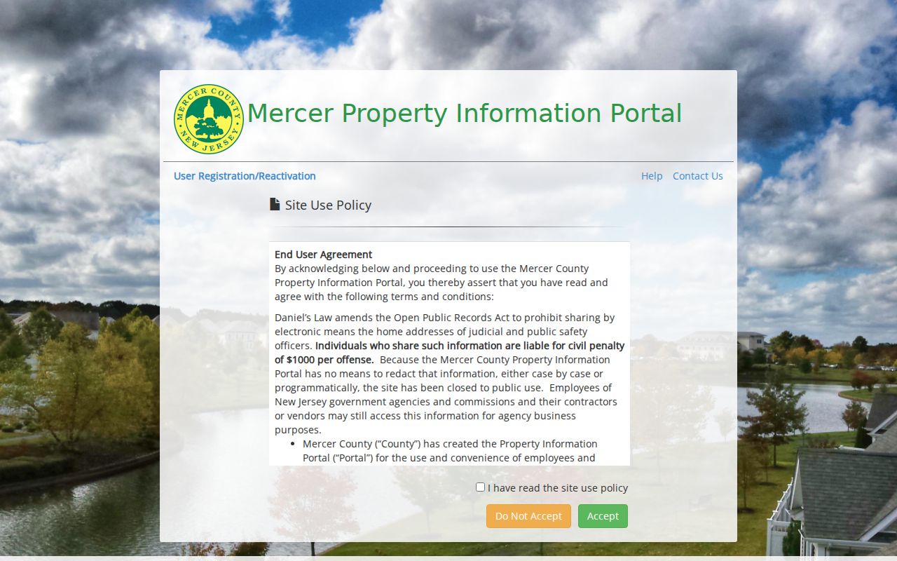
The policy supports using tax maps, redacted GIS, the official instrument index, and the Records Room as separate access channels rather than expecting one map to reveal every field.
For protected land-record information, New Jersey directs qualified title-search businesses to the DOBI title-search registration route. That is a professional access path, not a reason to bypass a redaction or infer a private address from another record.
The New Jersey title-search registration information describes that controlled route.
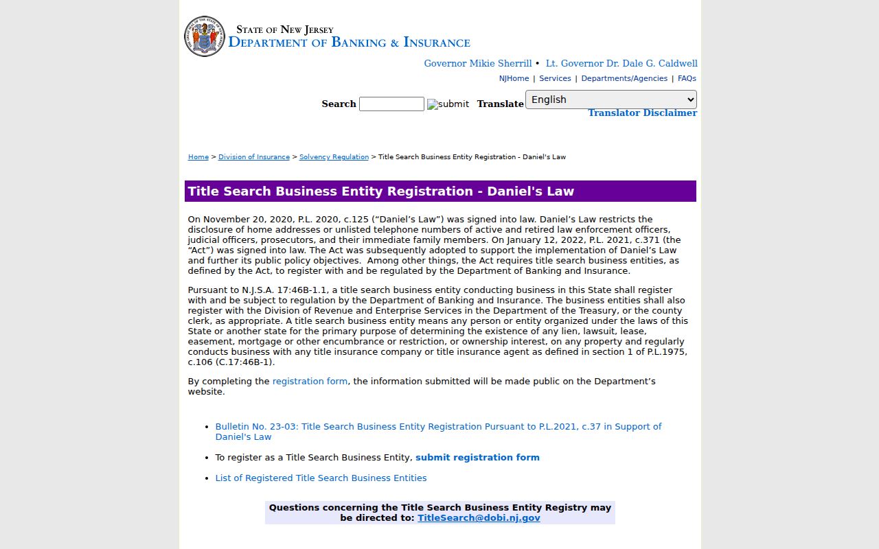
Its role is limited to the state’s qualified-access process and does not turn a street directory into a list of private occupants.
Princeton Street Directory Continuity
Older Princeton addresses need a continuity check before they are treated as the same site. The research did not locate a dated citywide renumbering schedule. It did confirm legacy Borough and Township labels, the 2013 consolidation, historical street descriptions, and cases in which houses were moved. Compare street-name variants, tax-map block and lot, the deed’s legal description, and a Sanborn sheet or historical directory before calling two records the same address.
The Princeton Public Library keeps city directories, phone books, maps, census materials, newspapers on microfilm, and local-history sources in the Princeton Room. When an address trail becomes historical, the Princeton Directory Book has the collection details. A match may support “same street,” “same building,” or “same parcel,” but those are different conclusions and should be labeled that way.
Note: A parcel split can retain an older structure while changing its lot, so a matching street name alone is not enough for an address-history conclusion.